Citiescourse Series 10 - Smart Move: Spatial Analytics for Congestion Risk Mapping
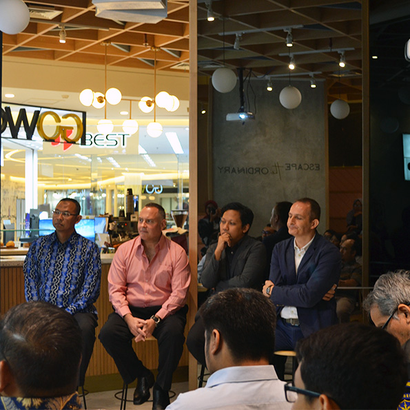
Citieslab held Citiescourse Series 10, titled “SMART MOVE: Spatial Analytics for Congestion Risk Mapping – Spatial Monitoring & Analysis of Real-Time Traffic Movement.” The session was held on Sunday, April 26, 2026, from 09:00 to 12:00 (online via Zoom), featuring a collaborative teaching format led by Firma Afrianto and Maya Safira. This session brought together interdisciplinary insights to explore urban mobility through a more dynamic and data-driven lens.
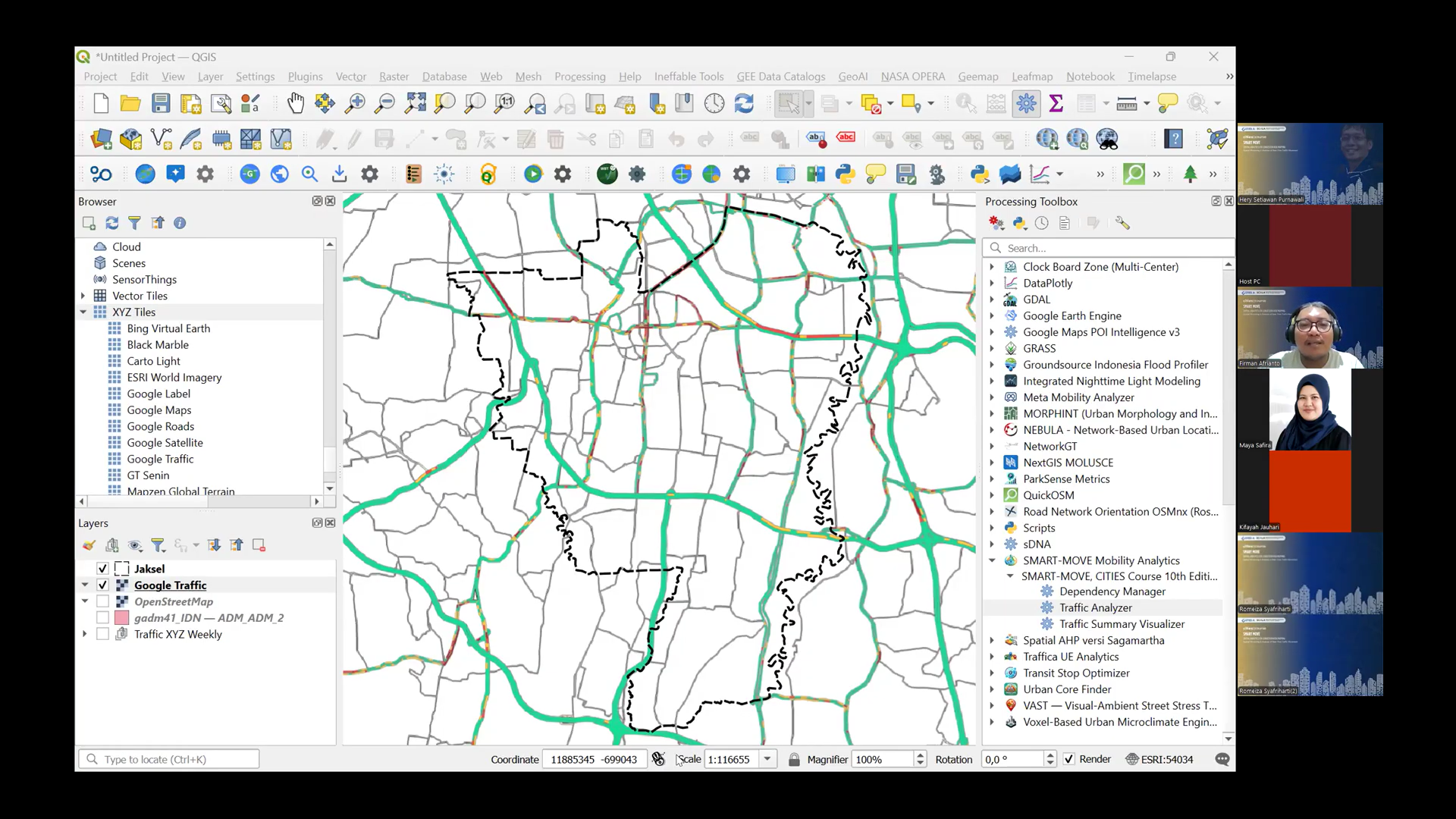
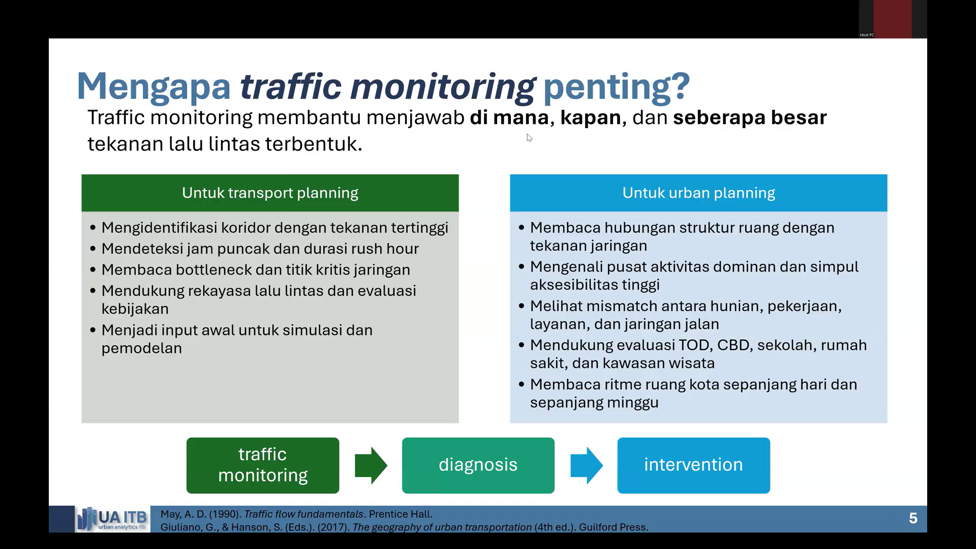
Urban mobility reflects the complex dynamics of human activity within cities, where traffic flow, corridor density, and travel time fluctuations reveal the interaction between road networks, spatial distribution of activities, and movement behavior. However, in many planning practices, this information is often simplified into static maps that fail to capture temporal dynamics and systemic mobility patterns. Through SMART-MOVE, Citieslab introduced a new analytical approach that transforms visual traffic data into spatial-based mobility intelligence, enabling a deeper understanding of how cities move and function.
Utilizing the QGIS Processing Toolbox, participants learned to process traffic tile data into analytical rasters, congestion indices, and spatiotemporal patterns that can inform transport planning decisions. The course guided participants beyond simply reading congestion maps, equipping them with the ability to interpret cities as dynamic mobility systems that can be measured, analyzed, and understood comprehensively.